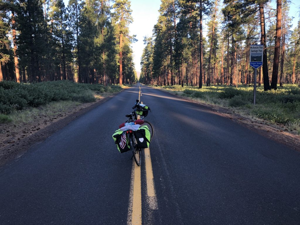
Up at 5 this morning and on the road at 5:45. 51 degrees now with a high of 95 expected today…supposed to be sunny, clear sky’s and hot—again. Not complaining though….could be a lot worse weather.
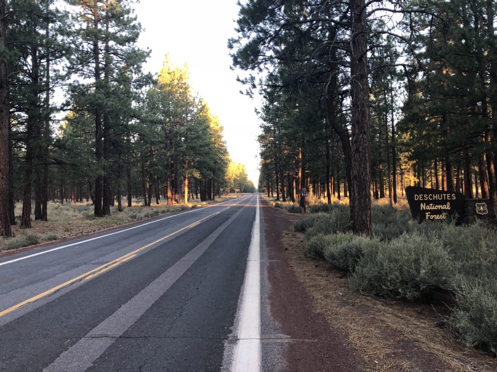
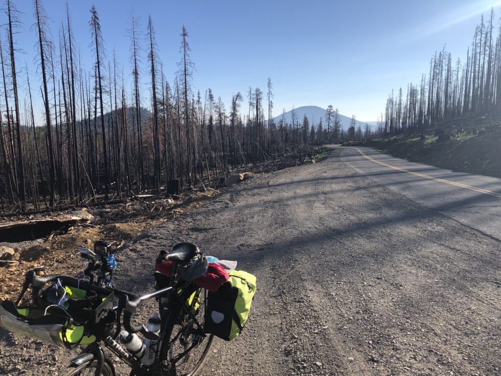
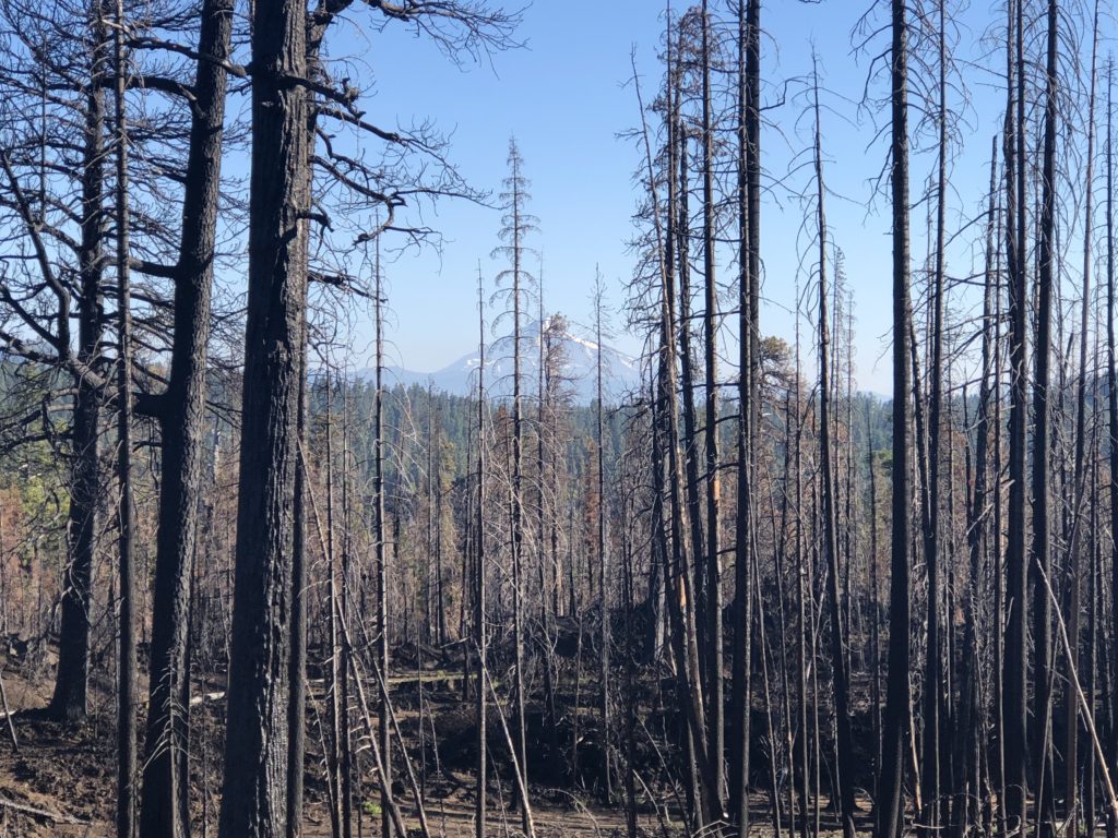
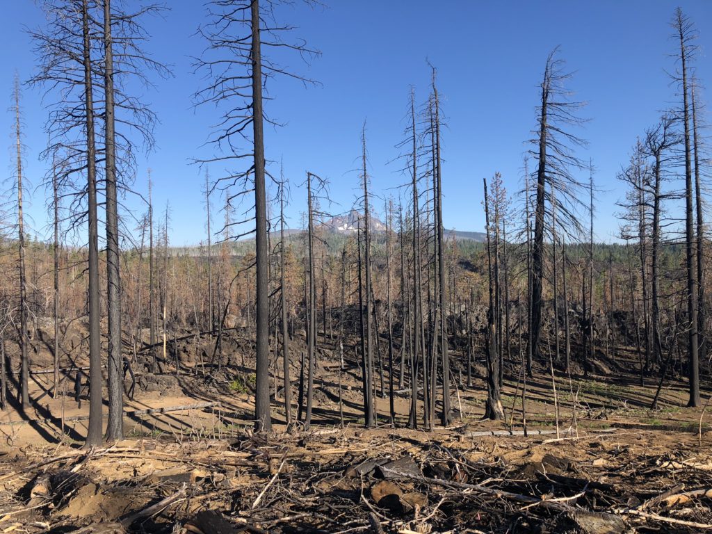
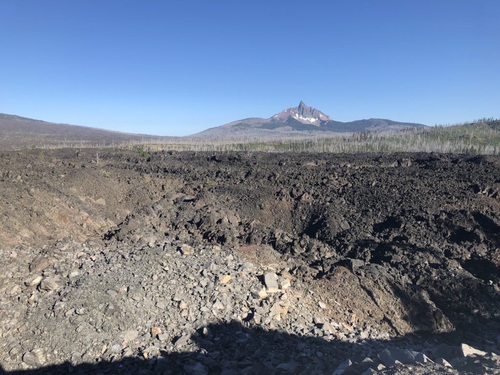
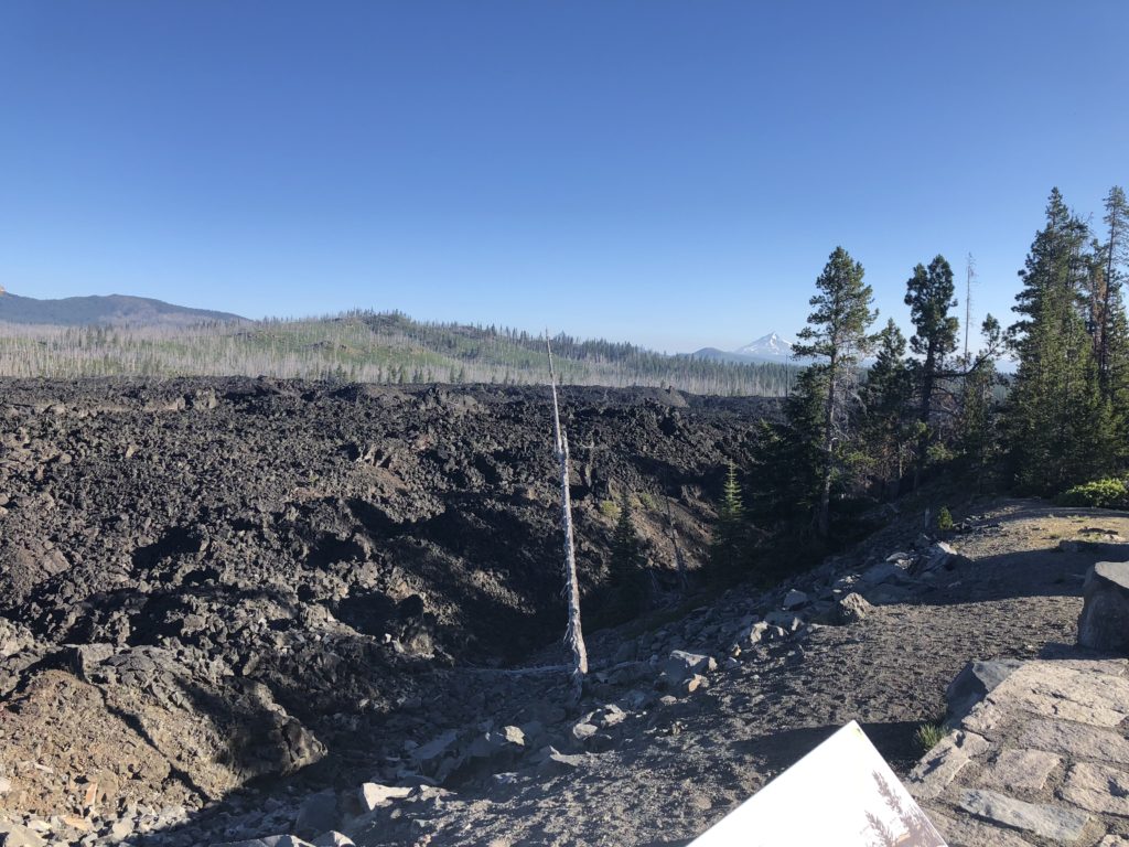
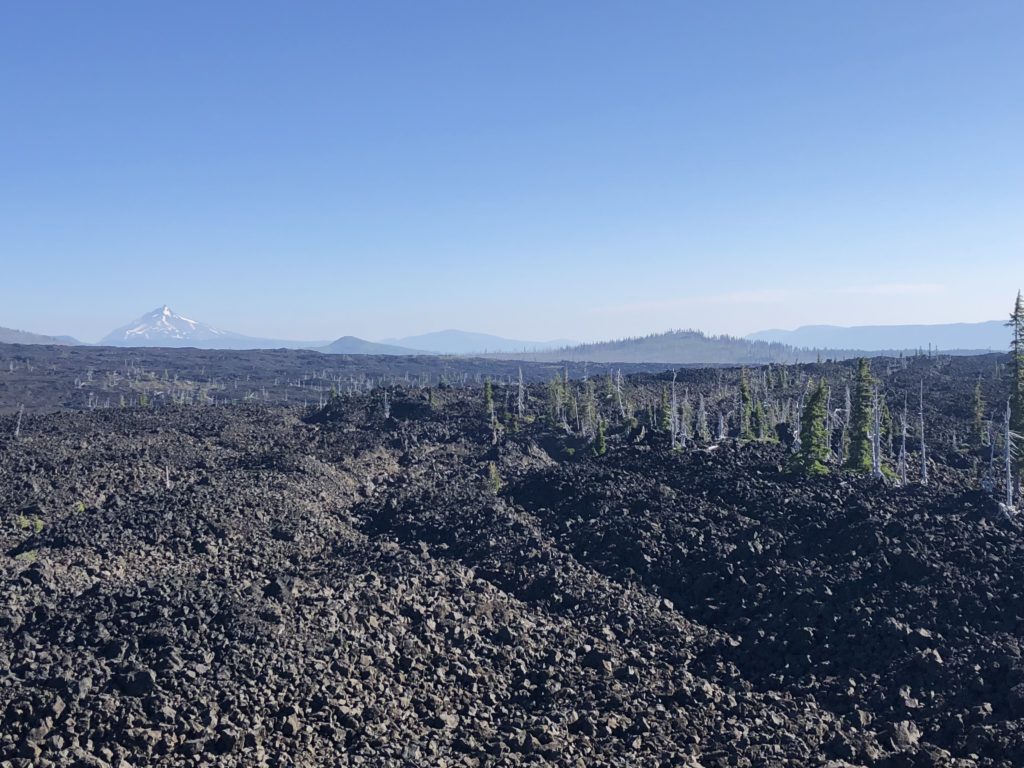
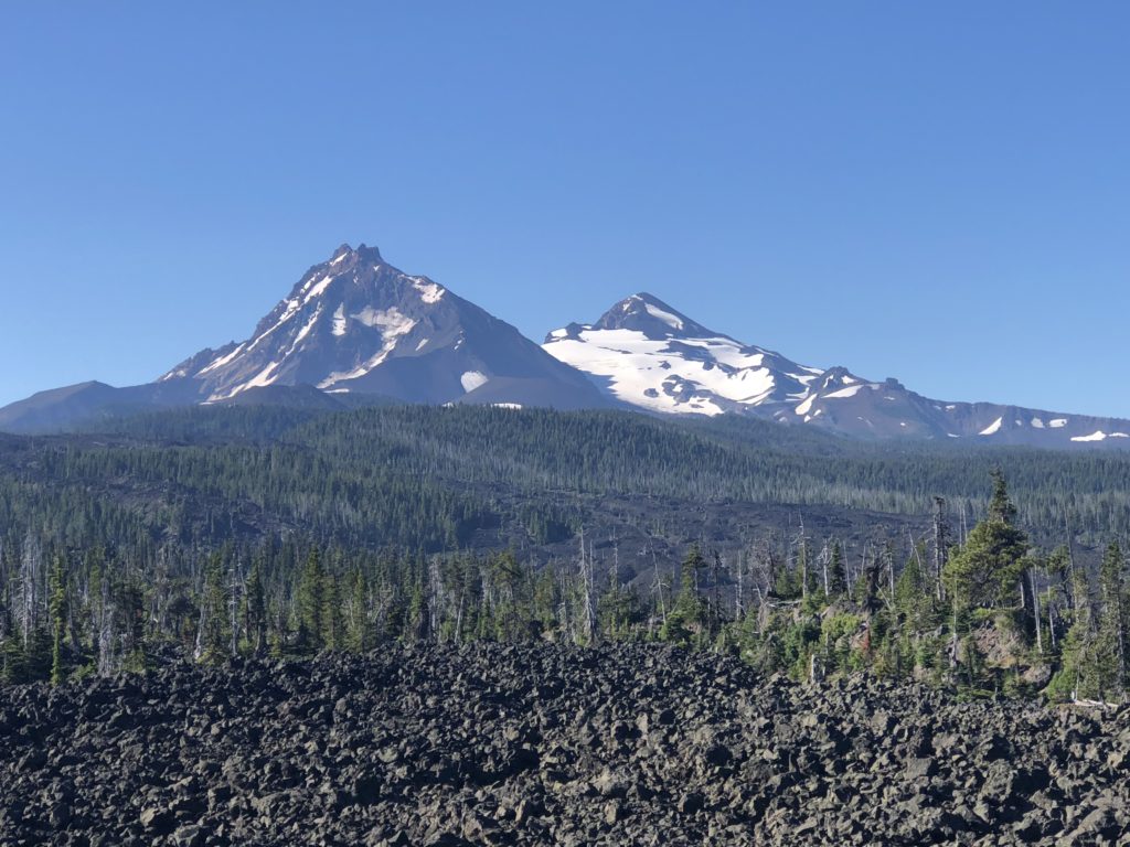
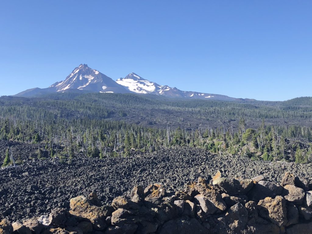
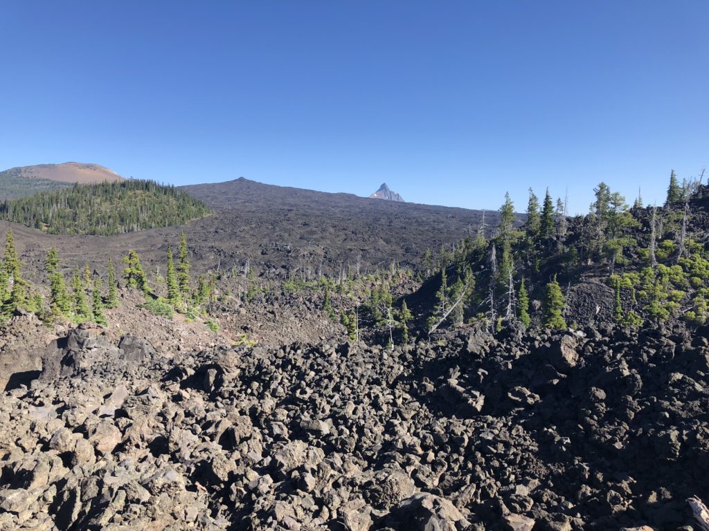
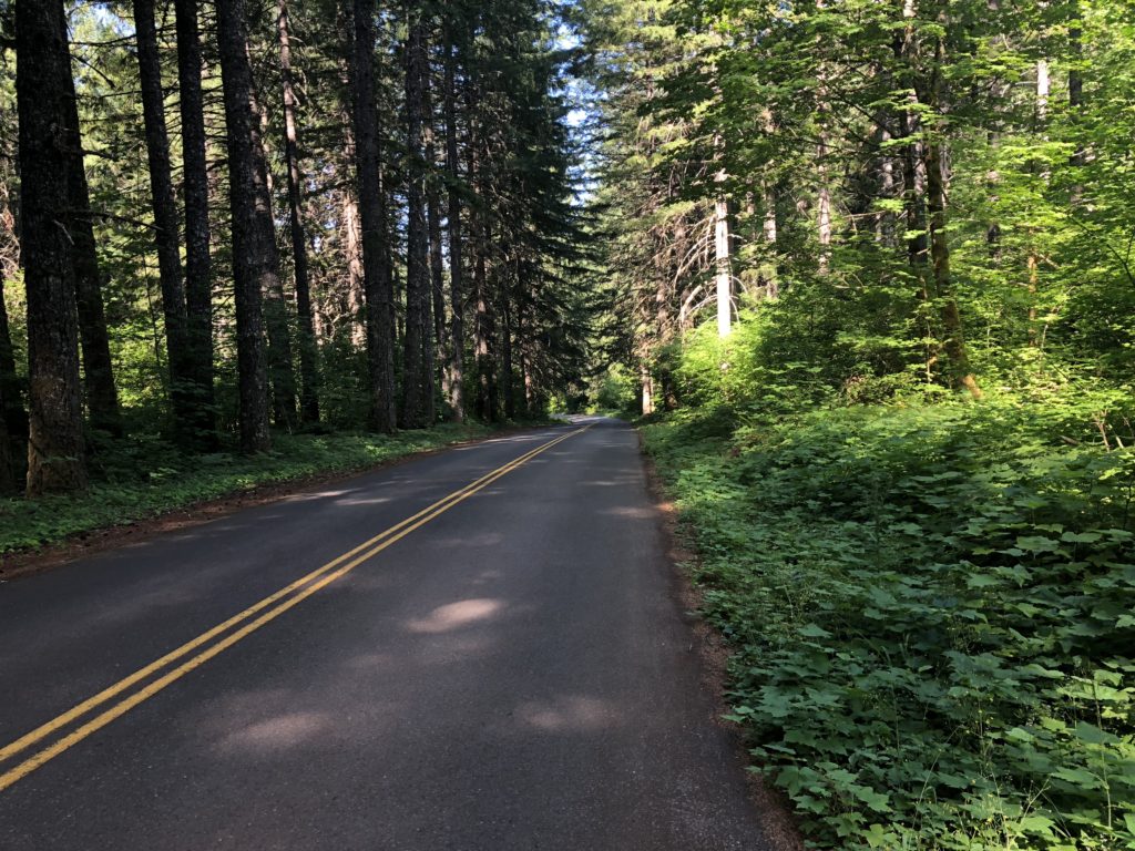
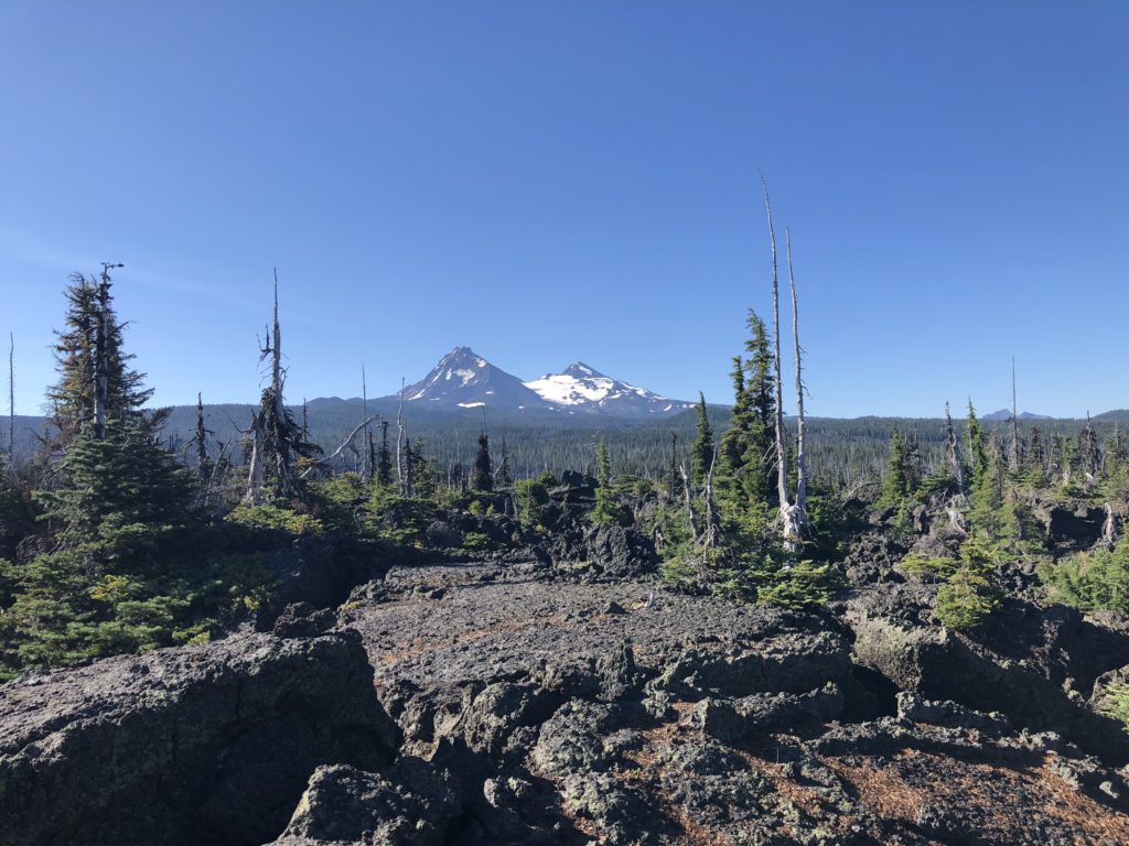
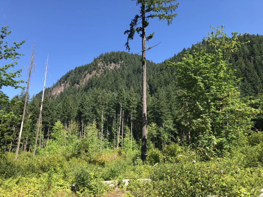
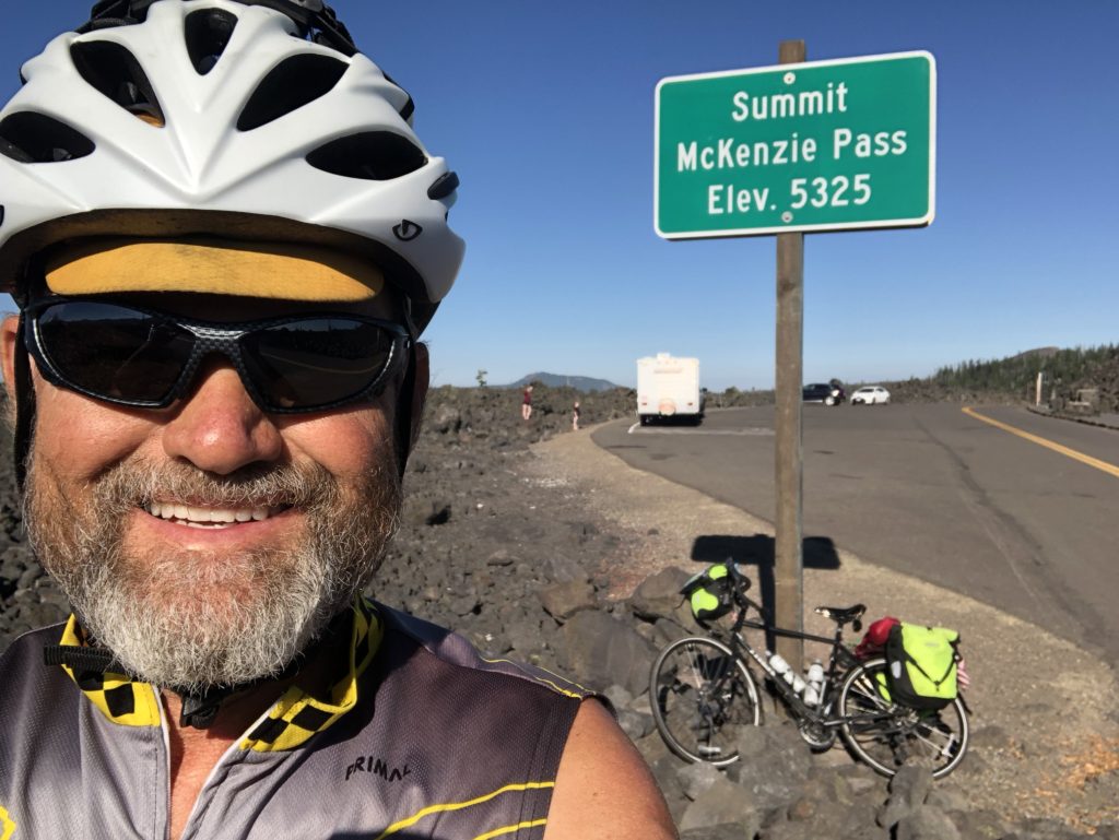
Topped McKenzie Pass at 8:30 this morning—5,325 feet…not a bad climb. Nice cool morning riding through pine Forrest. A recent fire burned a lot of the trees and closer to the top it turned into a massive lava field. My last major climb of the trip. Now to enjoy some downhill to Eugene. The downhill was great…switchbacks through thick Forrest all the way down below 1,000 feet.
41 miles in and at the bottom of the mountain. East and West Oregon are like two different worlds—east is dry and brown like the southwest and west is green and lush. I was actually cold coming down the west side of the mountain with the masssive pine trees (or maybe redwoods?) thick and completely blocking the sun. Stopped at the bottom at a store and had an early lunch about 10:30—turkey sandwich, Diet Pepsi, chips, ice cream sandwich, V8, and can of lemon water. Picked up a chocolate muffin for later down the road. Still have over 50 miles to go and now that I’m out of the Forrest it’s getting a bit hotter, but nothing like yesterday.
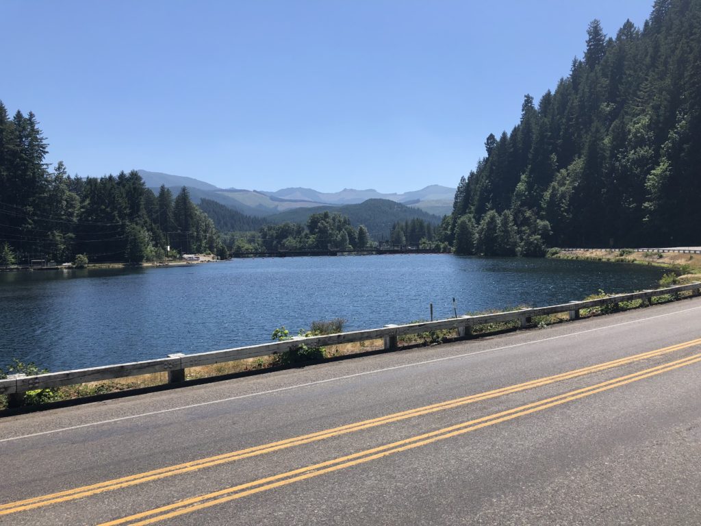
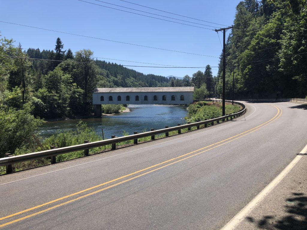
1pm rolled into Vida at 66 miles after a long stressful stretch on hwy 126. The logging trucks and 18 wheelers are thick on this road with very little shoulder to ride on…still have about 14 miles on this road. Taking a break at a gas station with Diet Coke, pure leaf tea, ice, and bottled water…..getting hot. Have dropped down to below 800 feet…lowest altitude since I entered Kansas.
This is just a note to others thinking of doing this ride and reading this blog. This stretch of hwy 126 from the bottom of the McKenzie Pass drop to Waterville is probably the most dangerous stretch of road on the entire trip. Forget anything I said earlier about Oregon drivers giving cyclists plenty of room on the road—that does not apply on this stretch of road. My eyes were glued to my mirror and I had to run off the road and stop just out of self preservation more during this stretch of road than all other times on the trip combined. The 18 wheelers, log trucks, and Wide-load trucks do not move over or slow down. Given this is on the ACA main route and presumably thousands of cyclists have ridden this stretch of road over the past 40+ years, I would bet (and I don’t know) that more than one have been hit on this road. When you ride this stretch of road, you have got to be alert and be ready to run off the road as a defense mechanism—you can curse and flip birds later if you want, but you’ve got to watch out for yourself—the crazy truckers are not watching out for you. I would go so far as to say it’s irresponsible for the ACA to route cyclists down this road. I don’t care if it was part of the original route or not, it needs to be changed.
Rolled into Eugene about 3:50 and staying at a cheap motel a couple miles outside the city. Had dinner at Memos Mexican Restaurant—very good, very large steak burrito, fried rice and iced tea.
Down to my last ACA map with officially 234 miles to go to Astoria—although I do have about 10 miles to get back on-route in the morning. Still not sure where I’ll stop tomorrow…will figure it out as I go. But finishing Friday or early Saturday is well within reach and I’m feeling strong and good tonight.