Today was a good day—the way biking is supposed to be.
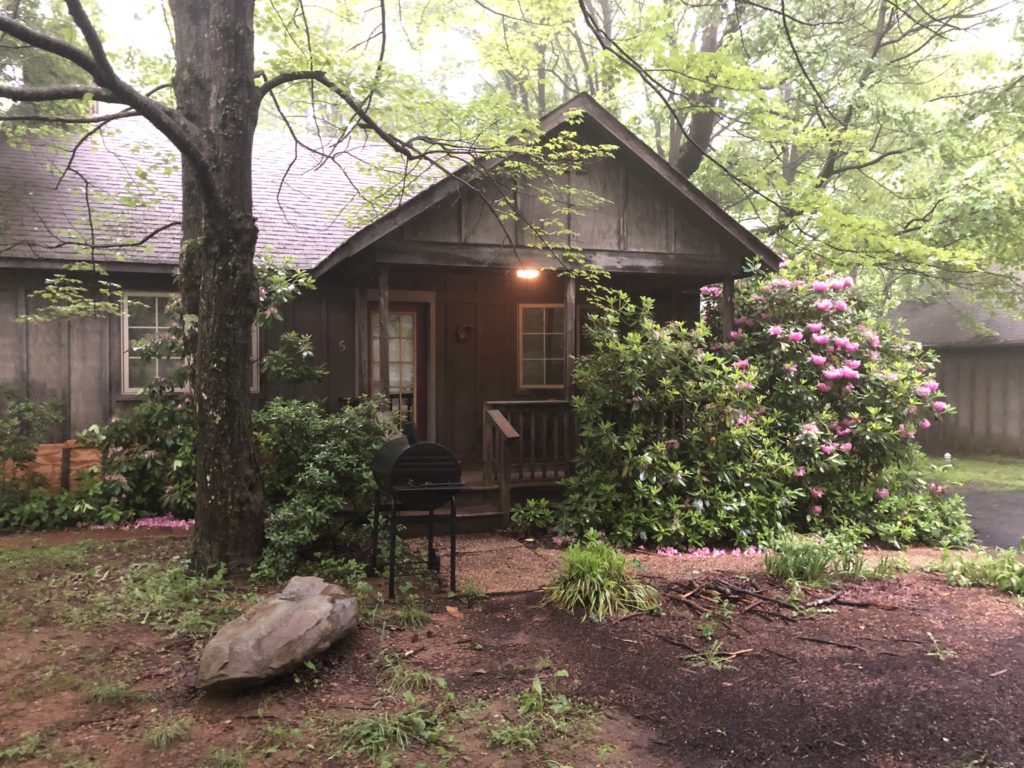
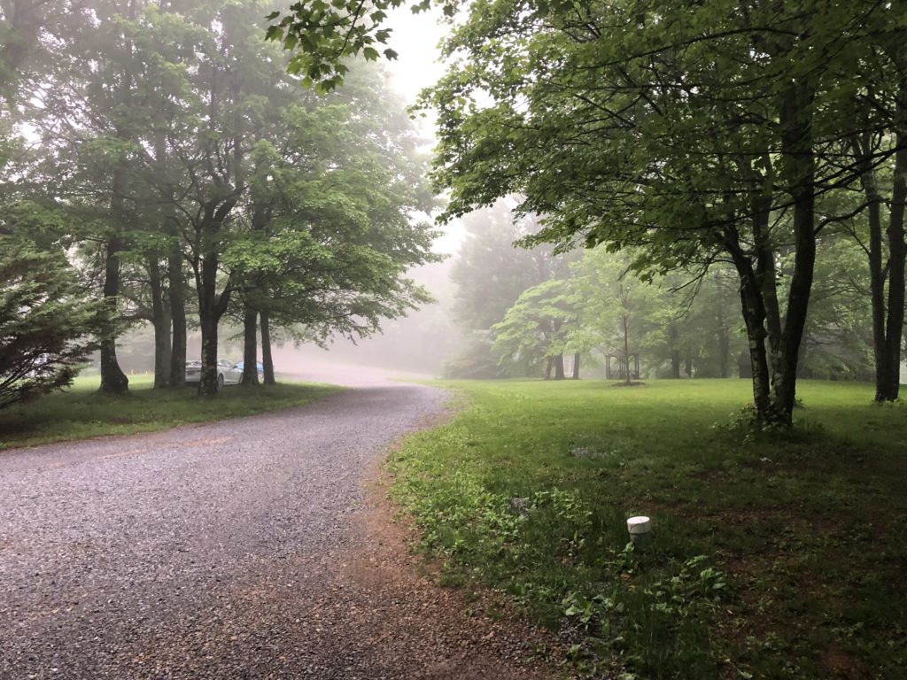
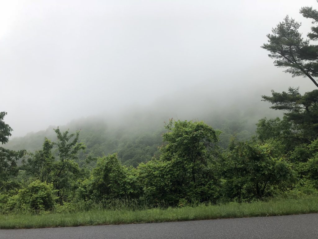
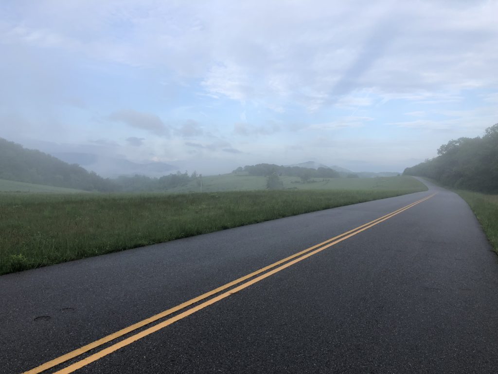
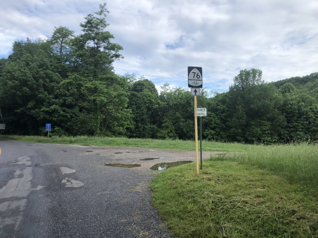
I woke up at 5am this morning feeling great. Got everything packed up and hit the road by 6:10. The first pics are of the cabin I stayed in for the past two nights—no bear visits last night—and the road leading away from the campsite at Love. Will have to remember this place and June, Tori, and I will have to take a drive down the Blue Ridge Parkway someday and maybe stay there. If you haven’t driven that road, I would highly recommend it…even though it was foggy most of my trip down it this morning I found myself wanting to take pictures every few minutes.
Leaving the cabin I had an immediate climb—thought we had hit the peak already but no—the peak was actually at about 3,400 feet and we dropped a few hundred feet getting to the campsite. But this climb was the good pain kind—my stomach was feeling great and I was riding strong.
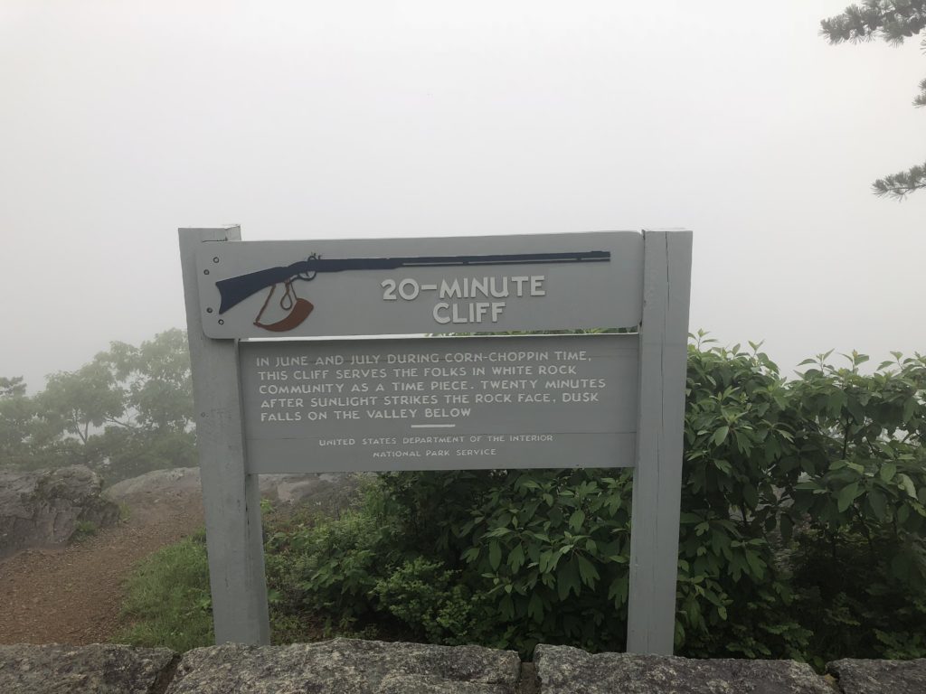
So, back on the Blue Ridge Parkway; 20-minute cliff has something to do with the sun hitting the valley 20 minutes after something—you can read the sign—because of the fog that’s all I could see.
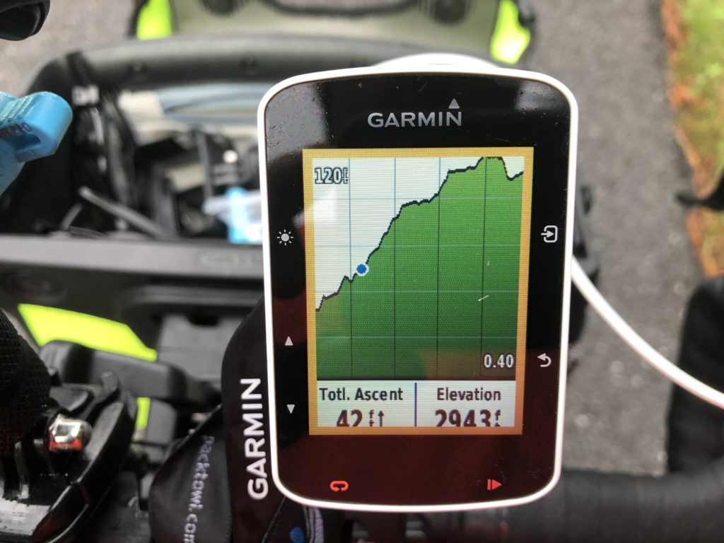
I had time during my rest day to play around with my Garmin and figure out a few things. One was how to see the elevation profile while I’m riding—the picture shows what I was riding up first thing with the blue dot being me…it’s real time tracking from satellite and is cool…used it a lot today and is very motivating to show the progress going up and down these mountains—probably won’t be that exciting in Kansas.
I finally made it to the turnoff of the Parkway to head down the famous Vesuvius drop. When I got to the turnoff there was a guy there parking his car and taking his bike off getting ready to ride down it. He warned me to be careful because all the rain had washed a lot of gavel and stuff onto the road. I thanked him and took off. I did use my breaks a lot—it’s curvy and fast and if you’re not careful you could have a major crash going down that…I actually kept it under 30mph most of the time by riding my breaks all the way down. Getting disc brakes on my touring bike paid off. I can see how on a hot day a person could burn up a standard set of caliper brakes going down that mountain.
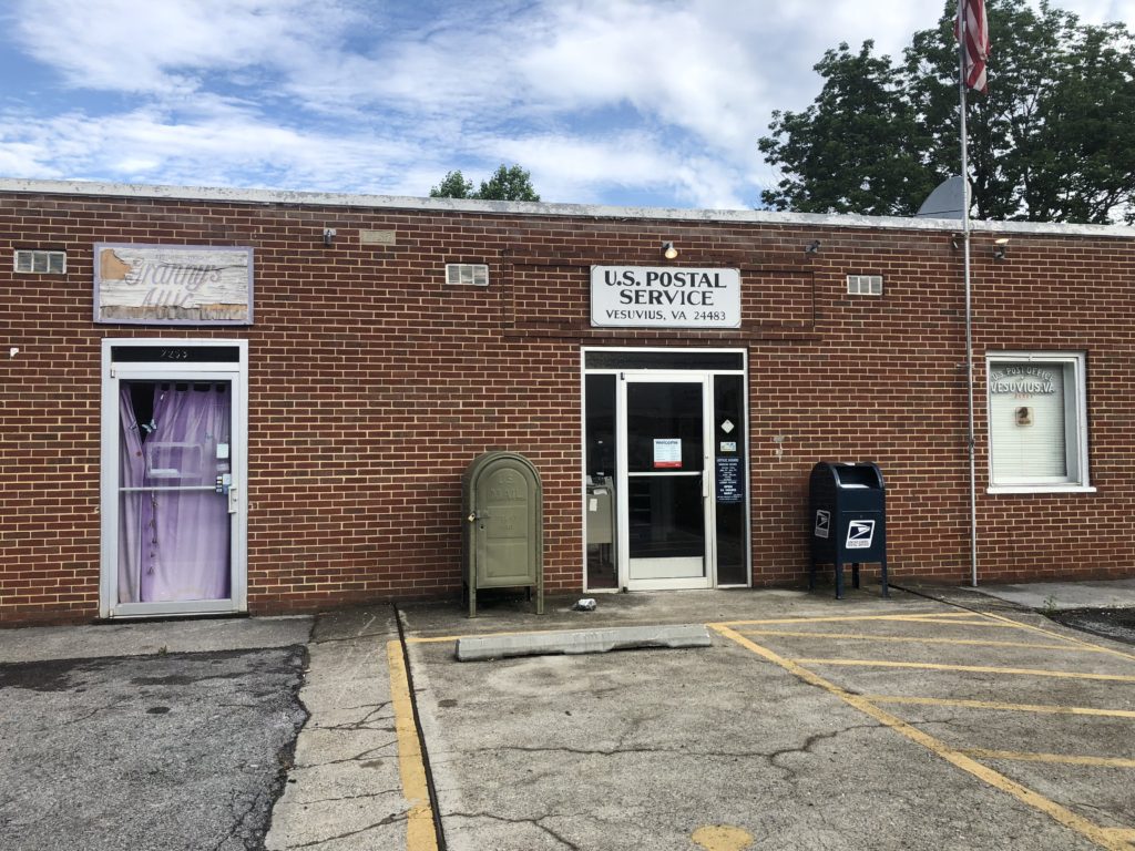
At the bottom of the mountain I stopped at a post office and mailed a couple postcards to June and Tori—sorry, I didn’t have anything to write with so they are just cards from the campground with our pre-made mailing labels and no writing—I’ll have to “borrow” a pen from somewhere today 🙂
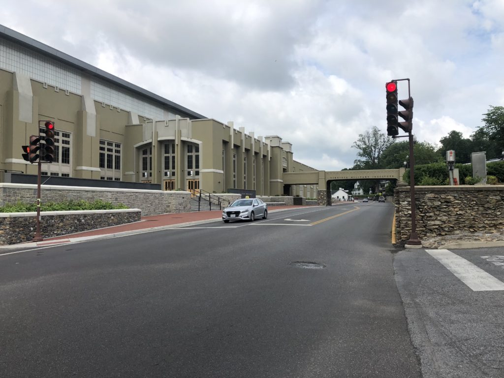
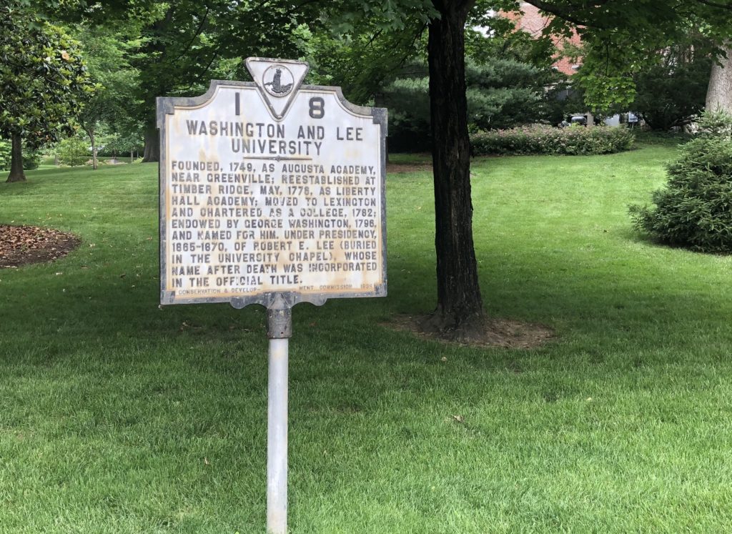
After that it was a nice, long gradual descent almost all the way into Lexington, with a little serious climbing just outside of town. Lexington, is the home of the Virginia Military Institute and Washing & Lee College. A very nice little town with everything seeming to be centered around the colleges. I stopped and had a nice breakfast there—I think that was about 35 miles into the day.
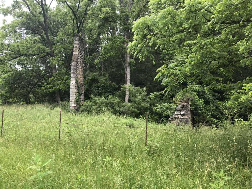
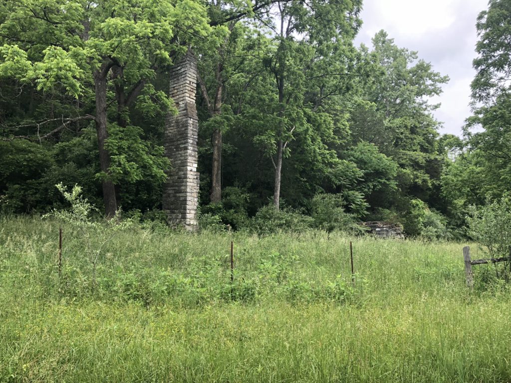
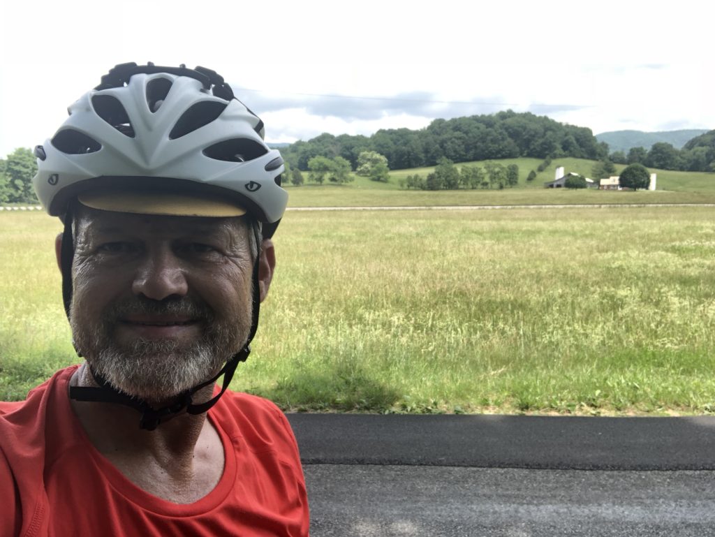
A few miles outside Lexington going down country roads — just blacktop with no lines and virtually no cars for miles and miles — I ran across the old brick structure in the pics. When I stopped to take pictures and drink some water an old man was driving by and he stopped and told me it was an old 1800’s mill. He said back up the road a ways there were some old Civil War structures as well—I took his word for it, since I didn’t want to ride back up the very large hill I had just descended 🙂
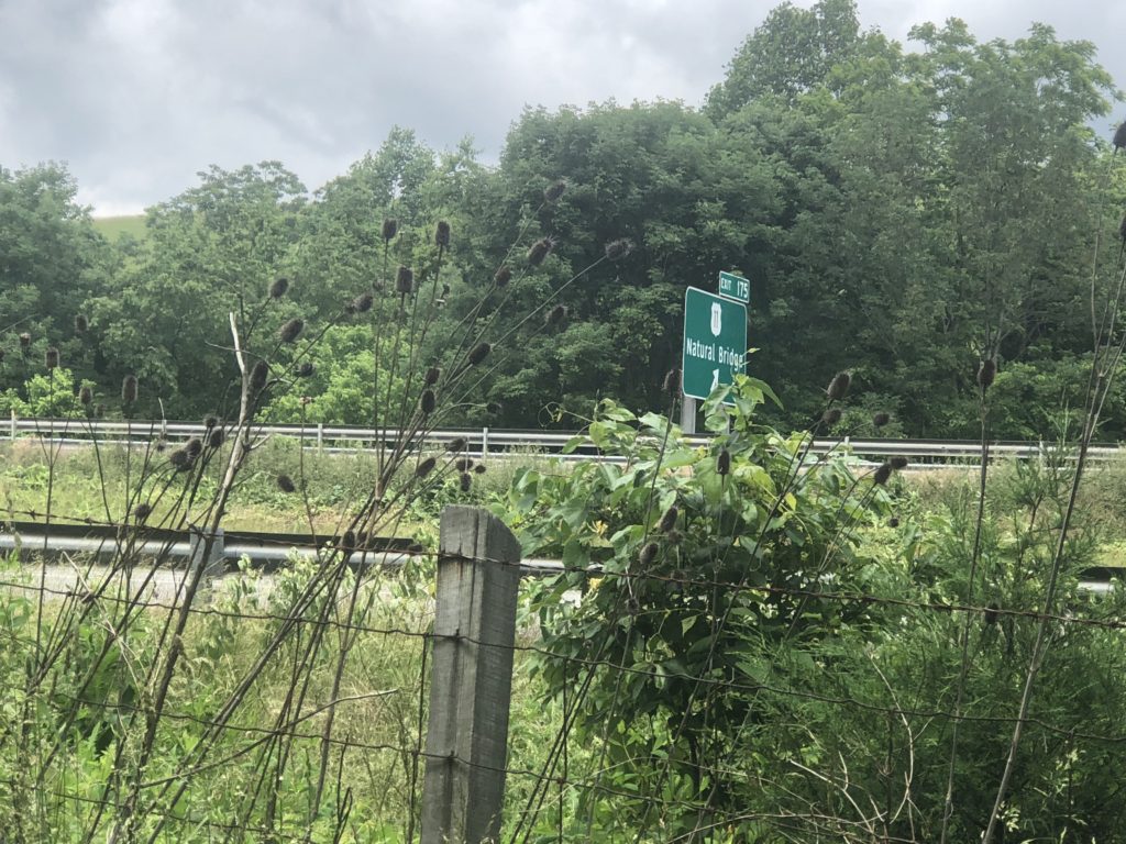
Later on down the road there was a turn off to Natural Bridge…I think it was a few miles off route and you had to pay to get in. Rob and Stephen stopped there yesterday and said it was worth a visit; however, I still haven’t visited the natural bridge in KY, so figured I should at least go there first—good excuse for not riding the off-route miles here in VA 🙂
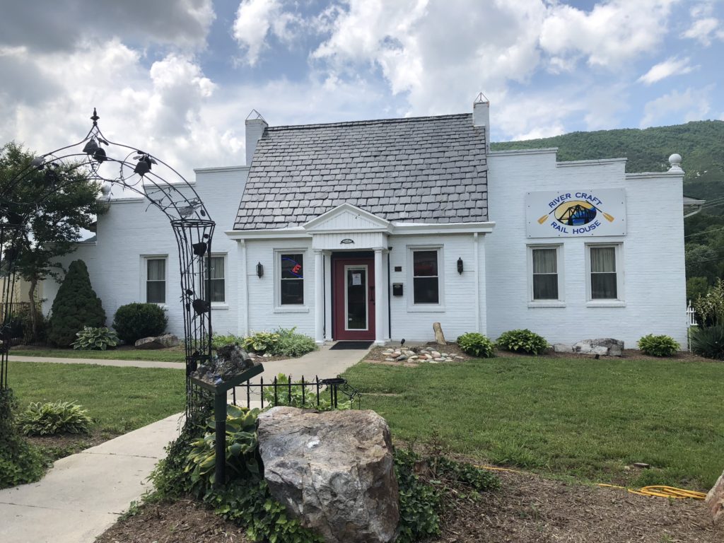
Next I hit Buchanan and stopped in at the River Craft Rail House for lunch…I think this may have been 1:30 or so—need to get a pen and keep better track of times and take notes while I’m riding. There I had a cold turkey wrap and two orders of really good fries—when you can eat french fries and love them, then you know you’re over the stomach bug 🙂
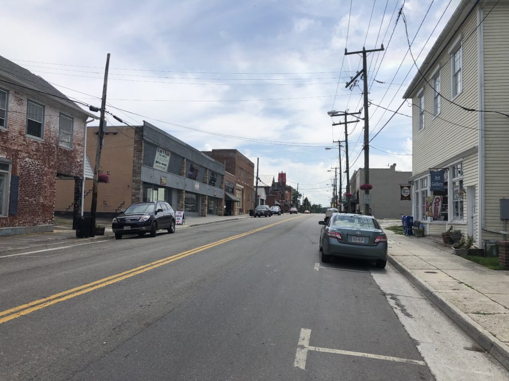
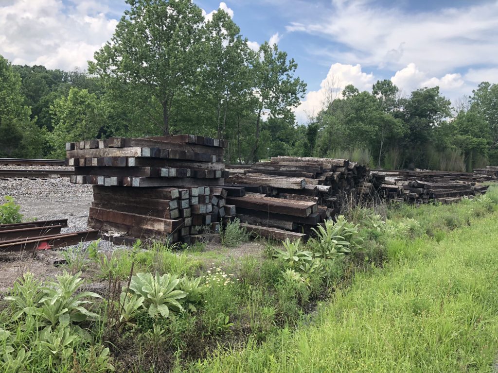
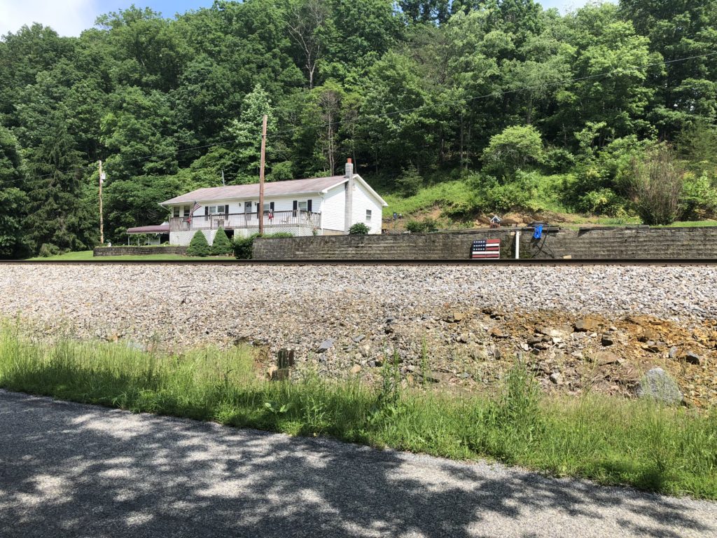
Leaving there and heading toward Troutville I passed a small town — all the smaller communities here seem to be right beside the railroad tracks — and saw an old tie yard by the tracks with cross ties stacked. Reminded me of the 60’s back in White Bluff, Dickson, Waverly, and a bunch of other small towns with the tie yards my family worked in.
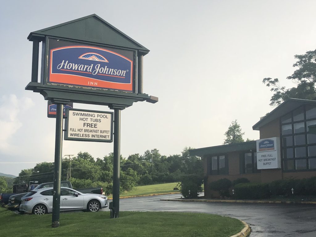
Ended the day here at the Howard Johnson hotel in Daleville. This hotel is right by a crossing of the Appalachian Trail and is full of AT hikers. $49.95 a night plus tax with a hot breakfast in the morning—I’ll take that! 🙂 Just got back from Ponchos across the street and ate a burrito as big as a horses head with 4 glasses of ice cold ice tea—unsweet. The lady brought me my burrito with a bowl of beans and explained that the beans were supposed to be in the burrito, but they forgot to add them—I didn’t care—just dumped them on top and ate it all 🙂
I think Stephen and Rob were riding to Christiansburg today—that’ll put them about 45 miles ahead of me…maybe I’ll catch up to them before we get to Berea where Stephen is stopping. He doesn’t have the time to do the whole thing at once so is doing it in segments each year—June is going to pick him up in Richmond, KY where he is shipping his bike back home and giving him a ride to the airport in Lexington.
A good day!
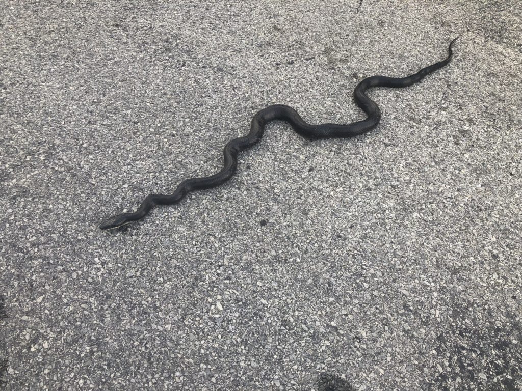
ps…oh, the picture of the large black snake? You would think I took that somewhere in the mountain….no, it is here in the Howard Johnson parking lot 🙂
